Remote Sensing Scientist and Technologist
Cape Town
Contract
R22,333 - R52,833 / Month
(R268,000 - R634,000 / Year)
(R268,000 - R634,000 / Year)
Job Description
Looking for an enthusiastic Remote Sensing Scientist and Technologist to manage UAV operations and data analysis. Candidates should have expertise in aerial imagery and data collection methods, contributing to our innovative projects.
Responsibilities
- Conduct operational planning for UAV missions.
- Utilize remote sensing techniques to collect and analyze data.
- Prepare and submit detailed flight reports and data analysis.
- Ensure adherence to aviation regulations and safety protocols.
- Collaborate with cross-functional teams on project objectives.
- Assist in developing UAV operation protocols.
- Stay updated on industry best practices and technologies.
- Support the development of training materials for new hires.
- Engage in professional development opportunities.
- Foster a culture of safety and efficiency within the team.
Requirements
Education
- Matric or equivalent
- Remote Pilot License (RPL) or equivalent
- Bachelor's degree in Geography, Environmental Science, or related field is preferred
Experience
- 4+ years of experience in UAV operations and data analysis.
Technical Skills
- UAV Navigation Systems
- Data Processing Software (e.g., MATLAB)
Soft Skills
- Team Collaboration
- Analytical Thinking
Certifications
- Google Analytics Certification
- Advanced Remote Pilot License
Languages
- English: Fluent
Advantageous
- Experience with GIS Software: Proficiency in Geographic Information Systems for spatial analysis.
- Experience in UAV maintenance: Hands-on experience with the upkeep and troubleshooting of UAV systems.
Benefits
- Comprehensive health insurance.
- Flexible working hours.
- Retirement savings plan with company match.
- Support for professional development.
Company Culture
- Sustainability: We are committed to sustainable practices in UAV operations and data analysis.
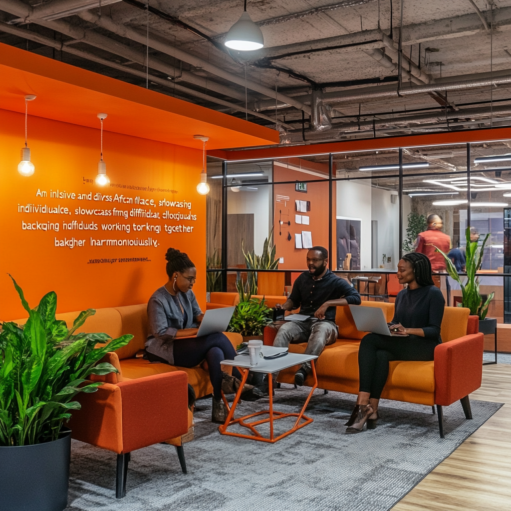
- Diversity and Inclusion: We celebrate diversity and create an inclusive workplace for all backgrounds.
- Work-Life Balance: We prioritize a healthy work-life balance, offering flexible working arrangements.
Status: Closed